
Get a comprehensive bird's-eye view of your site with 3D point clouds, reports, calculations, and more
UAV and DRONE SURVEYS
Elevating Surveying to New Heights with UAV & Drone Surveys
Drones or unmanned aerial vehicles (UAVs) offer convenient and efficient access to areas that would typically require significant time, expense, and licensed operators for traditional methods like scaffolding, access towers, or cherry pickers. Using drones to conduct inspections and identify areas of concern is not only safer but also significantly faster. This makes it possible to implement targeted maintenance approaches, allowing for localised access to specific areas of interest.
Let's discuss your project needs →

A Safer, Cost-Effective, and Efficient Way to Survey Large Areas
UAV surveys provide a highly cost-effective way to map out large areas of land. Using UAVs for remote surveying eliminates the need to send personnel onto potentially hazardous sites such as stockpiles, landfills or open-pit mines, significantly enhancing safety.
Unlock Insights with Aerial Imagery and 3D Models
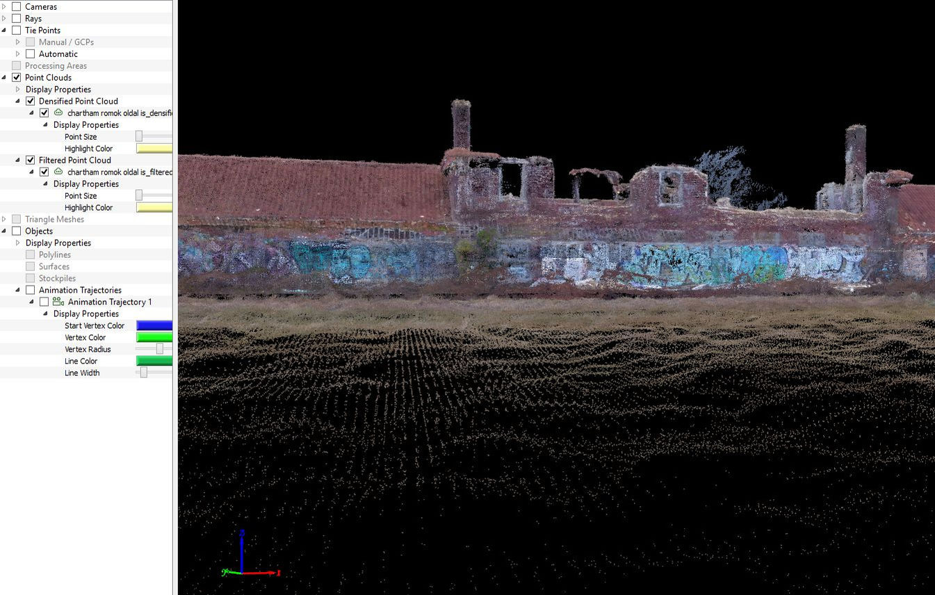
Our UAVs capture very high-resolution, high quality photographs. Using specialist software we can generate a comprehensive 3D model of the surveyed site from these photographs.
This enables us to produce various useful deliverables, including topographical survey drawings, scaled photographs, elevation drawings, movement and deformation reports, and volumetric calculations. These outputs provide detailed and accurate information for a range of purposes and applications.


We have a proven track record of delivering UAV survey services to a diverse clientele, including transportation and logistics companies, construction firms and property developers.
CLIENT BASE AND EXPERIENCE
CERTIFICATIONS AND PERMITS

All our drone pilots are accredited by the Civil Aviation Authority (CAA). Our compliance and permissions team is exclusively tasked with overseeing the permits and approvals for every flight we conduct. They are responsible for managing the necessary authorisations associated with our flights.
UAV and Drone Surveys Snapshot

Authorised Drone Operations and Surveying Expertise
TopoCrew is authorised by the Civil Aviation Authority (CAA) to conduct unmanned aerial vehicle (UAV) operations. Our extensive experience in conventional surveying, combined with ISO-accredited quality assurance procedures, ensures accurate positioning and coordination for all our drone surveys.

Interactive 3D Point Cloud from Aerial Images
This video is not traditional UAV-recorded footage but a 3D point cloud based on aerial images captured by our drone. It redefines the way you view and interact with your site data: you can explore it in full 3D, measure distances and areas, and add notes for a more efficient and accurate spatial analysis.


