


Modern surveys with millimeter accuracy, extremely high point density and interactive 3D models
LASER SCANNING SURVEYS
3D Laser Scanning: the Future of Surveying
TopoCrew’s 3D laser scanning captures millions of data points quickly and accurately, giving a complete picture of your asset or site. It saves time, reduces costs and enhances safety for construction, civil engineering, architectural and infrastructure projects across London. The scanned data provides detailed 2D and 3D CAD models, elevation drawings and VR experiences, enables point cloud analysis and more.
Get a quick quote →


Dependable Survey Data for Critical Projects
Laser scanning offers significant advantages over traditional surveying methods, enabling you to plan, estimate, design and build with complete confidence.
Your site's measurements can be recorded with up to 1 mm point density. This level of detail allows you to design more efficient projects, reduce errors and rework, detect fine deformations and cracks in buildings or roads and accurately assess objects’ conditions.
Exceptional Point Density
Get precise surveys of large and hard-to-reach areas such as building façades, bridges and motorways. Our software helps you compare real and conceptual surfaces, or surveys carried out over time. Differences are visualised using easy-to-understand colour gradations.
Clarity from Complex Sites
Our scanning captures far more detail in a fraction of the time and spends less time on your site. A tunnel or building façade can be scanned in minutes instead of hours. Ground level data and façades are recorded together, giving you fast, accurate elevation drawings.
Rapid and Efficient Surveys
Meet Our 3D Laser Scanning Fleet
We use a variety of state-of-the-art laser scanners to conduct surveys tailored to your site's unique challenges — whether it's capturing intricate architectural detail, scanning multi-storey buildings, or mapping expansive spaces with minimal disruption. Read our detailed analysis of the outdoor application of these scanners or get a free quote →
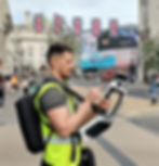
NavVis MLX Handheld Laser Scanner
TopoCrew uses the MLX to capture precise 3D survey data across London's sites, from tight corridors and stairwells to large commercial interiors.
Live feedback ensures complete coverage, fewer delays, lower cost and immediate confidence in your data.
Whether your project is tight, cluttered, vast, or active, we provide accurate, complete and visually verified results every time.
Leica Pegasus 2 Laser Scanner
The Pegasus 2 is a powerful car-mounted laser scanner with cameras. It has rapid data acquisition and captures accurate geospatial data and imagery very quickly, in a single pass.
TopoCrew uses this laser scanner for mapping large areas efficiently, as it's ideal for London's extensive highway projects, urban planning and asset management.


NavVis VLX Laser Scanner
The NavVis VLX laser scanner captures highly detailed 3D data in complex indoor and outdoor environments.
We deploy it in a wide range of London surveying projects, including building and construction, architecture and design, utilities and infrastructure.
Our surveyors can begin work quickly, capture data while moving, and complete scans with minimal to zero impact on public services.
Leica RTC360 Laser Scanner
The Leica RTC360 is a powerful laser scanner tailored to the needs of surveyors and architects. It enables high-precision, rapid data acquisition and delivers precise measurements and detailed point clouds.
The setup is quick, and the survey takes only a few minutes. This laser scanner is equipped with a high-resolution camera, so it also captures clear and detailed images.

Leading the Way in Laser Scanning Innovation
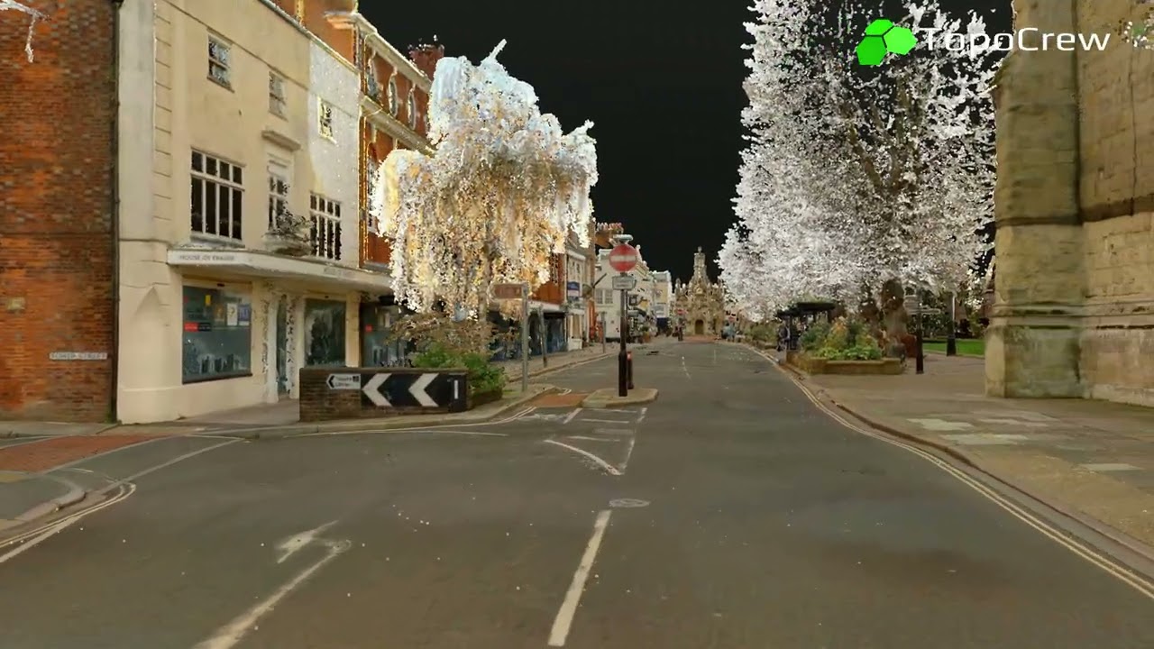
Our software and survey framework maximises the benefits of these laser scanners in bustling urban areas, such as the City of London and Westminster, as well as in rural and motorway environments. This ensures you receive clear, dependable surveys and 3D models, free from data gaps and clutter caused by shadows and obstructions. You can use them reliably across CAD and BIM platforms, GIS environments, visualisation tools and other workflows.
Historic buildings, under-pavement vaults, cellars, tunnels and subways can be scanned quickly, with maximum accuracy. We transition seamlessly from street-level to indoor surveys. Scanners also take photos, so your 3D point cloud comes with a complete condition record survey.
Indoor & Outdoor Versatility
We deliver surveys at any scale, from local streets to complex highway networks and major venues. Our fast, cost effective scan-to-CAD / BIM workflows streamline highway, building, architectural and heritage conversion projects from start to finish.
City-Scale Surveys
Safety is paramount, and reducing time on site lowers the risk of accidents. Laser scanning also significantly minimises disruption to public services, including road closures, detours and traffic delays, and reduces the need for prolonged on-site work.
Better Site Safety
Discover the Full Potential of Laser Scan Data
SkyGIS, our cloud-based viewer, unlocks the full potential of data captured by laser scanners. It seamlessly connects the worlds of CAD and GIS, allowing users to view CAD drawings while managing an unlimited number of attributes of assets. By selecting any object in the viewer, you can access a comprehensive list of its attributes and easily store custom data, such as the height, type, color of a lamp column or its last maintenance date.

Smart Real-Time Collaboration
Roads, buildings, road markings, assets and other site data are transformed into a smart digital twin. You can access it securely in your web browser from anywhere.
Upload and inspect point clouds and related images, upload vectors, edit attributes, and adjust visibility of the various datasets.
Inspect data from the scanner's perspective or in free flight mode, measure distances, adjust point-type object location and share the viewer with your clients, designers and other users.

Frequently Asked Questions (FAQ)

Completed 3D Laser Scanning in London


LASER SCANNING EXPERTISE IN LONDON
TopoCrew has an extensive history in 3D laser scanning surveys in diverse environments across London. Our expertise encompasses surveys of above-ground and underground facilities, historic alleyways, motorways, listed buildings, utility tunnels, pedestrian subways, bridges, railway stations and archaeological excavations, among others.
Please contact us for sample deliverables and live demos.
EXPERT SURVEYORS and DEPENDABLE RESULTS
Each team member holds the necessary licences and qualifications, including Bachelor's or Master's degrees in relevant fields, and accreditations from recognised regulatory bodies. Our expertise in 3D laser scanning ensures that you receive clear, accurate and comprehensive results every time. The deliverables include topographical surveys, detailed point clouds, 2D drawings, 3D/BIM models, interactive digital twins, geometric analysis and more, all tailored to your project needs.


