


Accurate and detailed topographic data and CAD-ready survey drawings for projects across London
TOPOGRAPHICAL SURVEYS
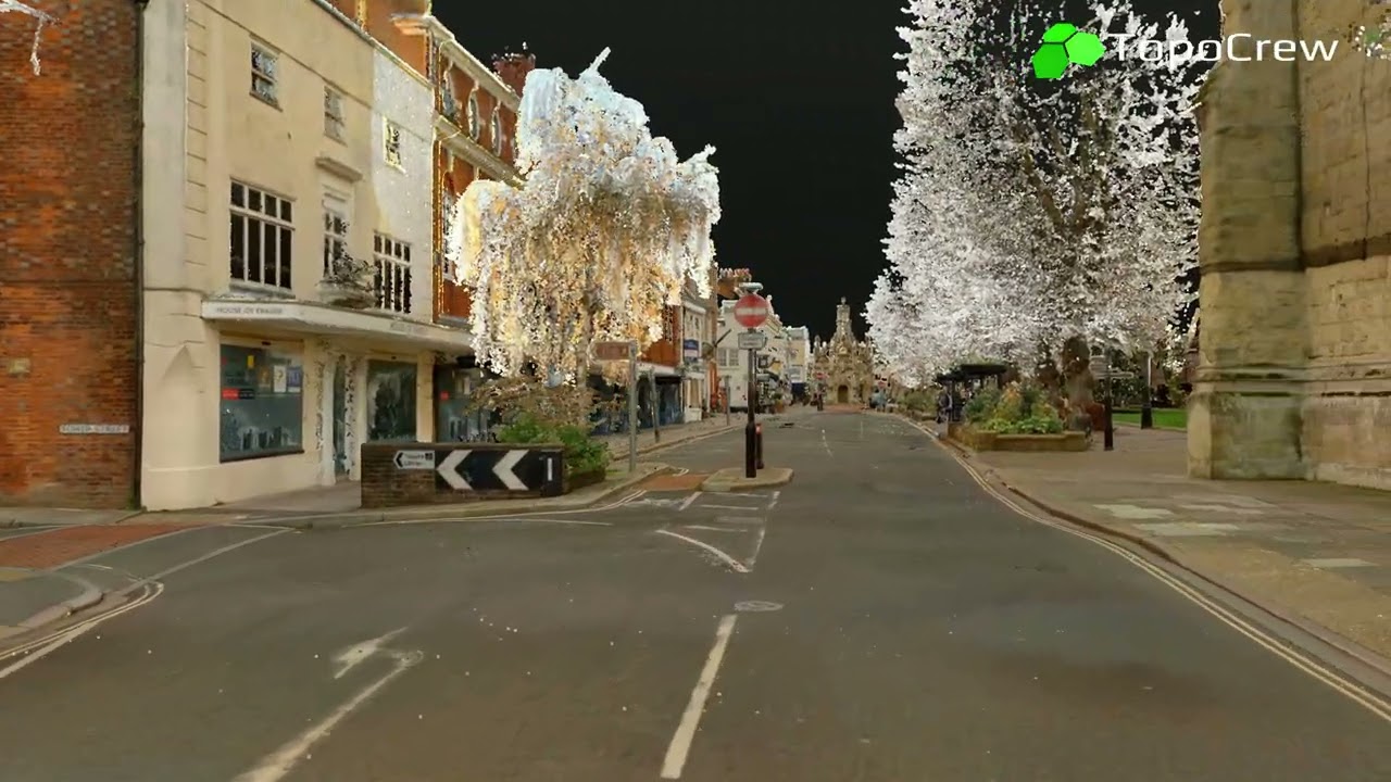
Reliable Topographical Surveys Tailored to You
Quality topographical surveys are the cornerstone of successful project planning, design and construction. We use the latest surveying technology and precise data collection methods to create the highest quality topographical survey for your project so you can plan, design and build with confidence.
The TopoCrew Advantage
London's local authorities, highway construction firms, visionary architects, stadium designers and creators of awe-inspiring safari parks execute projects based on our topographical surveys.
Whether you are designing intricate highway systems, planning the layout of urban developments or setting out designs for city landmarks, let us transform your project with precision and experience.
Reliable topographical surveys for faster, more confident decisions
Highest accuracy and rigorous quality control
Comprehensive datasets capturing every critical site detail
Time and cost-efficient surveys at any scale
Expert consultation and support throughout your project

A high-quality topographical survey minimises site issues and sets your project on a path towards success. A reliable survey is crucial to ensuring that your budget forecasting and estimates are as precise as possible. It guarantees that your 2D and 3D design is appropriate for its intended purpose, and can assist with various tasks such as bill of quantities, traffic management and consultation.
IMPORTANCE OF A RELIABLE TOPOGRAPHICAL SURVEY

A poor topographical survey can leave a scheme in trouble, requiring additional design work and leading to unexpected design costs. Incorrect designs due to bad surveys can be financially draining when construction begins. Flawed surveys can cause issues for contractors and result in a design/build working style that wreaks havoc on programmes and finances, especially if utility issues arise.
PROBLEMS WITH LOW-QUALITY TOPOGRAPHICAL SURVEYS
What Sets Our Topographical Surveys Apart
TopoCrew provides comprehensive, professional-grade surveys across London, tailored to your project's specific needs. Our approach combines advanced technology, such as laser scanners and total stations, with deep knowledge of the design process. Every survey we deliver focuses on quality, precision and client satisfaction, while minimising errors to help you avoid unforeseen costs and delays.
Superior CAD Layer Structure for Designers
We segregate 2D and 3D elements, and allocate each survey component to a clear, well-structured layer system. This gives designers a remarkable opportunity to use the survey across every stage of their work. It accelerates the conversion of survey data into design information, including construction packages and stakeholder material. Design costs are also reduced while improving communication with contractors.
All Important Aspects Are Surveyed
Nothing important is left out: before issuing any drawing, our surveyors conduct a thorough on-site verification. We meticulously compare the site with the drawings to ensure that nothing is omitted, particularly checking for any missing objects.
Rigorous Data Collection with Modern Instruments
We establish a control network using total stations and create a rigorous survey framework by adjusting the survey results with MicroSurvey STAR*NET. This provides the basis for the detailed survey, carried out using total stations or laser scanners. Laser scanners are highly efficient, greatly reducing time on site.

We pay special attention and use rigorous quality controls to avoid problems commonly found in topographical surveys. This helps you prevent project delays, unexpected design costs, expensive rework and other significant issues during construction. See some of the problems we prevent:
Keep your project free from errors, cost overruns and delays
An unstructured layer system in CAD drawings can make them very difficult to use. Mixing different types of objects on the same layer slows down work significantly.
We have been working with highway designers for over 10 years and developed a sophisticated, well-structured and very user-friendly layer system specifically for civil engineers. Individual objects can be easily found and separated with just a few clicks.


We have been working with highway designers for over 10 years and developed a sophisticated, well-structured and very user-friendly layer system specifically for civil engineers. Individual objects can be easily found and separated with just a few clicks.
We survey the correct number of points for a high point density in every cross section. This produces a realistic surface model resembling the true surface for very reliable level design.
Our drawings go through a rigorous quality check before we issue any deliverables, to ensure that:
-
The 3D model is consistent
-
Free from non-level intersecting lines or 0-level elements
-
It is built up of 3D strings rather than individual lines
-
No guesswork needed when importing the drawing into your design packages
-
Our procedures guarantee the cover's true location and the exact level of all corners.
Our drawings clearly present all entrances to buildings with the necessary level data.
In our drawings, areas are enclosed by a gap-free network of lines, allowing for one-click selection. Designers don't have to draw around each area to mark it, saving time and effort.
We place 2D and 3D objects in separate drawings and all objects in separate layers for ease of use.
Project Plan and Delivery
Our phased approach is optimised for accurate measurements, quality and efficiency. From a thorough initial site assessment to the final delivery of drawings, each phase has clearly defined milestones and deadlines to ensure timely execution.
Quality checks are integrated at every step, guaranteeing the highest level of accuracy. This allows us to deliver extremely reliable topographic surveys for London projects, meeting your specific needs within the agreed-upon timeline.
-
PLANNING: We notify you of the exact start and expected delivery dates
-
PREPARATION: We conduct the necessary searches to prepare for first site visit. We will locate nearest Ordinance Survey Benchmark, obtain OS base map, assess site safety, conduct Risk Assessment and Method Statement
-
NETWORK DEVELOPMENT: Our surveyors establish the reference control network by marking control points and surveying their positions with high precision RTK GNSS receivers and Leica Geosystems total stations
-
CONDUCT SURVEY: Our office team calculates network adjustments to eliminate any chance of survey errors. Once the network meets strict accuracy requirements, our site team starts the detailed survey
-
SECURE CLOUD STORAGE: The daily survey data is securely stored in the cloud and processed by our office CAD team.
-
SITE CHECK: Once the deliverables are 90% ready, our surveyors re-visit and check the site against the drawings
-
FINAL QUALITY CONTROL: CAD team processes any additional site notes. CAD Supervisor carries out final consistency and quality checks and reports to the Project Manager
-
DRAWINGS SENT TO YOU: The final quality control is performed and drawings are emailed to you. Optional cloud access is provided
-
INVOICE: We issue the invoice
-
CUSTOMER CARE & SUPPORT: We ask for your feedback using a short satisfaction survey and provide follow-up support for any further questions or requests
-


Browse the map of our completed topographical surveys
TOPOCREW IN NUMBERS
Helping Build London Since 2009
Topographical surveys completed
2,000+
Highway setting out construction projects
10,000+
Trial excavation reports
1,000+
Miles of London's streets surveyed
750+
Boroughs: we are approved suppliers
15
Boroughs: we work in regularly
29

We offer precise 3D laser scanning surveys to capture every detail of your facility or site for extremely accurate planning, design and construction. Alongside traditional 2D/3D CAD drawings, we provide a detailed 3D model, panoramic photographs and additional deliverables.
Maximum Accuracy and Confidence in Your Data
We capture ultra-dense point clouds with sub-5 mm accuracy, enabling you to:
-
Detect the smallest deformations in buildings and roads
-
Assess conditions precisely
-
Plan designs with certainty
-
Create proactive maintenance programmes that protect safety and extend asset life
-
Gain a complete, detailed understanding of your site.
Visually Explore Your Facility or Site in 3D
You can view your surveyed site in 3D, similar to Google Street View. Navigate the space, review designs, inspect elevations, take exact measurements and share notes or observations with teams.
Complete Your Projects More Efficiently
We spend less time on site while capturing far more detail, from ground level to rooflines. Facades of nearby buildings are included for quick production of elevation drawings, and our automated data capture process minimises the potential for human error.
Cutting-Edge Surveys Using Laser Scanning
“The quality of the TopoCrew’s surveys have been excellent and has resulted in reduced number of site visits required to verify data or collect missing data and has greatly increased confidence in the designs prepared. Working with a surveyor who provides such high quality work with excellent customer service was an obvious choice.”
Simon Gibbs
Director
Roadways Consulting Ltd.
“TS Nexus have worked with TopoCrew on numerous projects over the past 10 years. From topographical surveys for design purposes to as built surveys their attention to detail is second to none. Their accuracy has been crucial during design stages and their attention to detail during setting out has been vital on numerous schemes including Aldgate for the City of London. A fantastic survey company.”
Simon Rollinson
Director
TS Nexus Ltd
“Having used their topographical survey services for almost ten years, I have come to trust that I will always receive a quick, friendly and very efficient service. No matter the size of the task or its urgency, TopoCrew always manages to deliver quality work at a fair price.”
James Geeson
Project Manager
London Borough of Merton
Trusted by London’s Leading Businesses and Government Organisations
WHY CLIENTS CHOOSE US
Frequently Asked Questions (FAQ)

Completed Topographical Surveys in London


With a proven track record of over 2,000 completed topographical surveys in London and extensive experience in site engineering across the UK, TopoCrew brings a wealth of hands-on expertise to every project.
Our valued clients range from local authorities to large highway construction firms, stadiums, concert halls and safari parks.
CLIENT BASE and EXPERIENCE
Expert Surveyors, DEPENDABLE RESULTS
All our surveyors hold the requisite licences and qualifications, including bachelor's or master's degrees in pertinent fields, as well as accreditations from recognised regulatory bodies.
TopoCrew deliver comprehensive, accurate and reliable topographical surveys for projects of any scale or complexity.


